Capabilities - Environmental Monitoring
Environmental Monitoring is a capability unique to ConductVision, built on ConductScience's decade of experience equipping field researchers with environmental measurement tools. The system uses standard cameras — ground-mounted, tower-mounted, or drone-carried — to detect rising water levels, flood conditions, vegetation health changes, soil erosion, and air quality indicators such as visible particulate plumes. This can turn existing camera infrastructure into a continuous environmental observation network, providing early warnings that were previously only possible through expensive, dedicated sensor networks or manual site visits.
- Change Detection
- Continuous
- Monitoring Interval
- 15min
- Coverage
- 24/7
How it works - Environmental Monitoring in three steps
Get started with environmental monitoring in minutes using your existing camera infrastructure.
- Deploy Environmental Cameras. Position cameras at riverbanks, coastlines, construction slopes, green infrastructure sites, or anywhere environmental change needs monitoring. Solar-powered enclosures with cellular uplinks enable deployment in remote locations.
- Detect Environmental Changes. Baseline models learn the normal visual state of each camera view. Change detection algorithms identify deviations — rising water, expanding erosion, browning vegetation, or unusual particulate density — and classify them by type and severity.
- Alert and Report. Threshold-based alerts notify environmental managers, emergency services, or facility operators when conditions exceed defined parameters. Time-lapse reports document changes over days, weeks, and seasons.
Features
Everything you need for production-grade environmental monitoring.
- Water Level Monitoring. Tracks water levels against fixed reference markers or learned visual baselines. Detects rising levels, flood conditions, and tidal patterns without in-water sensors.
- Flood Detection and Early Warning. Identifies standing water, overbank flow, and road flooding by comparing current frames against dry-condition baselines. Alerts escalate based on water extent and rate of change.
- Vegetation Health Assessment. Monitors vegetation color and density changes over time using visible-spectrum analysis. Detects drought stress, die-off, invasive species encroachment, and post-fire recovery.
- Erosion Detection. Identifies soil erosion, bank undercutting, and slope instability by tracking changes in ground surface contours over time. Useful for construction sites, shorelines, and hillside developments.
- Visible Air Quality Indicators. Detects visible particulate plumes, dust clouds, and smoke that indicate degraded local air quality. Correlates visual observations with weather data for contextual analysis.
- Time-Lapse Change Documentation. Generates annotated time-lapse sequences showing environmental changes over configurable periods. Exports support reporting requirements for environmental permits and impact assessments.
- Multi-Camera Environmental Networks. Aggregate observations from camera networks across a watershed, coastline, or project area into unified dashboards. Spatial analysis reveals regional patterns from individual camera observations.
Use cases
Real-world applications of environmental monitoring across industries.
Flood Early Warning Systems
Municipalities need advance warning of flooding from rising rivers and storm surges. Camera-based water level monitoring can provide continuous data without maintaining expensive in-stream gauge networks.
- Government
- Smart City
Construction Stormwater Compliance
Construction projects must monitor erosion and stormwater runoff per environmental permits. Continuous camera monitoring can document compliance and detect erosion events between manual inspections.
- Construction
- Government
Coastal Erosion Monitoring
Coastal communities and agencies track shoreline retreat and dune erosion over time. Camera-based monitoring can provide daily measurements where annual surveys previously were the only option.
- Government
- Conservation
- Real Estate
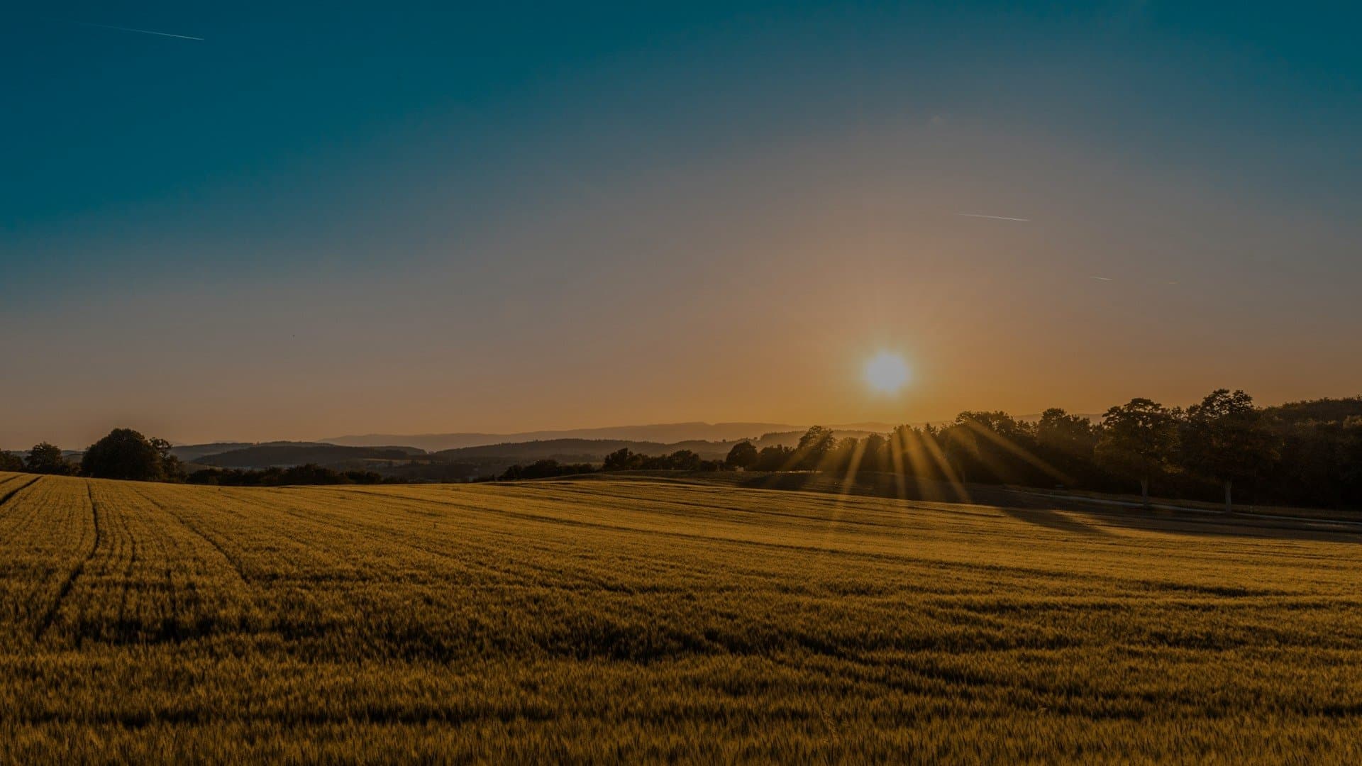
Agricultural Crop Monitoring
Farmers and agronomists need to detect crop stress early. Fixed cameras at field edges or drone flyovers processed by the platform can detect color changes indicating water stress, pest damage, or nutrient deficiency.
- Agriculture
Wetland and Habitat Restoration
Restoration projects require documentation of vegetation establishment and water regime over years. Camera monitoring can provide quantified visual records that satisfy grant reporting requirements.
- Conservation
- Government
- Research
Mine Site Environmental Compliance
Mining operations monitor tailings ponds, waste rock slopes, and receiving waterways for environmental changes. Automated detection can supplement manual sampling and inspection programs.
- Mining
- Government
Green Infrastructure Performance
Municipalities investing in rain gardens, bioswales, and green roofs need to verify they function as designed. Camera monitoring can track water retention, vegetation health, and overflow events.
- Smart City
- Government
- Construction
See how environmental monitoring works in your environment
Schedule a free discovery call. We will walk through your cameras, your use case, and what our detection models can do for you.
Technical specifications
- Models
- Ensemble of change-detection (Siamese networks), segmentation (U-Net), and classification models trained on environmental imagery
- Accuracy
- Change detection across water levels, vegetation, and erosion; water-level measurement within ±5cm against calibrated markers
- Latency
- Monitoring interval configurable from 1 minute to 24 hours; per-frame inference <150ms
- Input Formats
- RTSP, ONVIF, MP4, JPEG batch (trail cameras, drones), satellite imagery (GeoTIFF)
- Output Formats
- JSON, CSV, GeoJSON, time-lapse MP4, PDF environmental reports, Webhooks
- Edge Support
- NVIDIA Jetson, solar-powered remote enclosures, cellular (4G/LTE) and satellite uplinks
Industries using this capability
Related capabilities
Ready to explore what AI vision can do for you?
Contact us
- Headquarters
ConductScience Inc.
5250 Old Orchard Rd Suite 300
Skokie, IL 60077
+1 (847) 983-3672 - Sales & Support
info@conductscience.com
Mon – Fri, 9 AM – 5 PM EST